
- The walking route: Expect a significant amount of walking. The paths climb steadily from the main entrance up to the top of Corstorphine Hill. Sturdy, comfortable walking shoes are essential.
- Internal shuttle service: For those who find the steep incline challenging, a complimentary mobility trailer service operates within the park, helping visitors reach the higher sections of the zoo more easily.
- Rest and pit stops: Benches and shaded viewing areas are generously scattered along the main pathways, offering plenty of spots to rest your legs.
- Eateries along the way: You will find several dining spots marked on the Edinburgh Zoo maps. Stop by the main Gannet restaurant near the entrance for hot meals, or grab quick snacks and coffees at various kiosks positioned at major animal crossroads higher up the hill.
Explore the Edinburgh Zoo map before your visit
Navigating the zoo
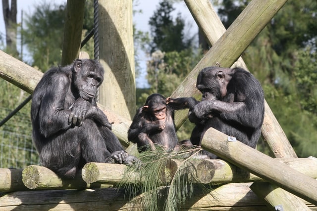
Spanning 82 acres across the sloped terrain of Corstorphine Hill, the Edinburgh Zoo layout is divided into distinct, immersive hillside zones. This Edinburgh Zoo map guides you through specialised habitats, from the low-level Penguins Rock to the elevated Budongo Trail chimpanzee enclosure.
Edinburgh Zoo map
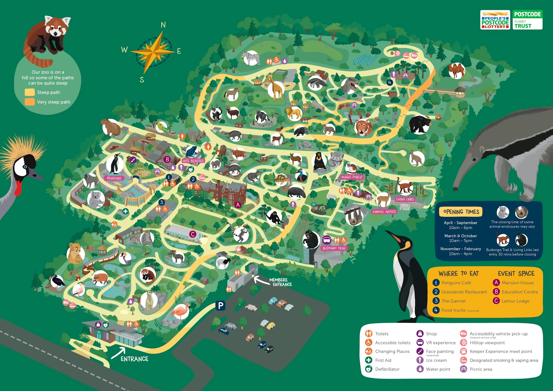
Navigating your way around Edinburgh Zoo
Exploring Edinburgh Zoo requires a bit of strategy due to its unique hillside topography. To get the most out of your visit, it is highly recommended to follow a continuous uphill loop and wind your way down.

Visitor facilities
- Restrooms: Located conveniently at the main entrance, the Gannet restaurant, the Budongo Trail, and near the top of the hill by the hilltop cafe.
- Accessible ramps & elevators: Accessible pathways run throughout the zoo, though some slopes are steep. Elevators are available inside multi-level indoor exhibits like the Budongo Trail.
- Baby-changing stations: Found within all major restroom blocks across the park, including the entrance hub and the main restaurant.
- Water refilling stations: Eco-friendly water bottle topping-off stations are located near the main food outlets to keep you hydrated during the climb.
Must-see highlights
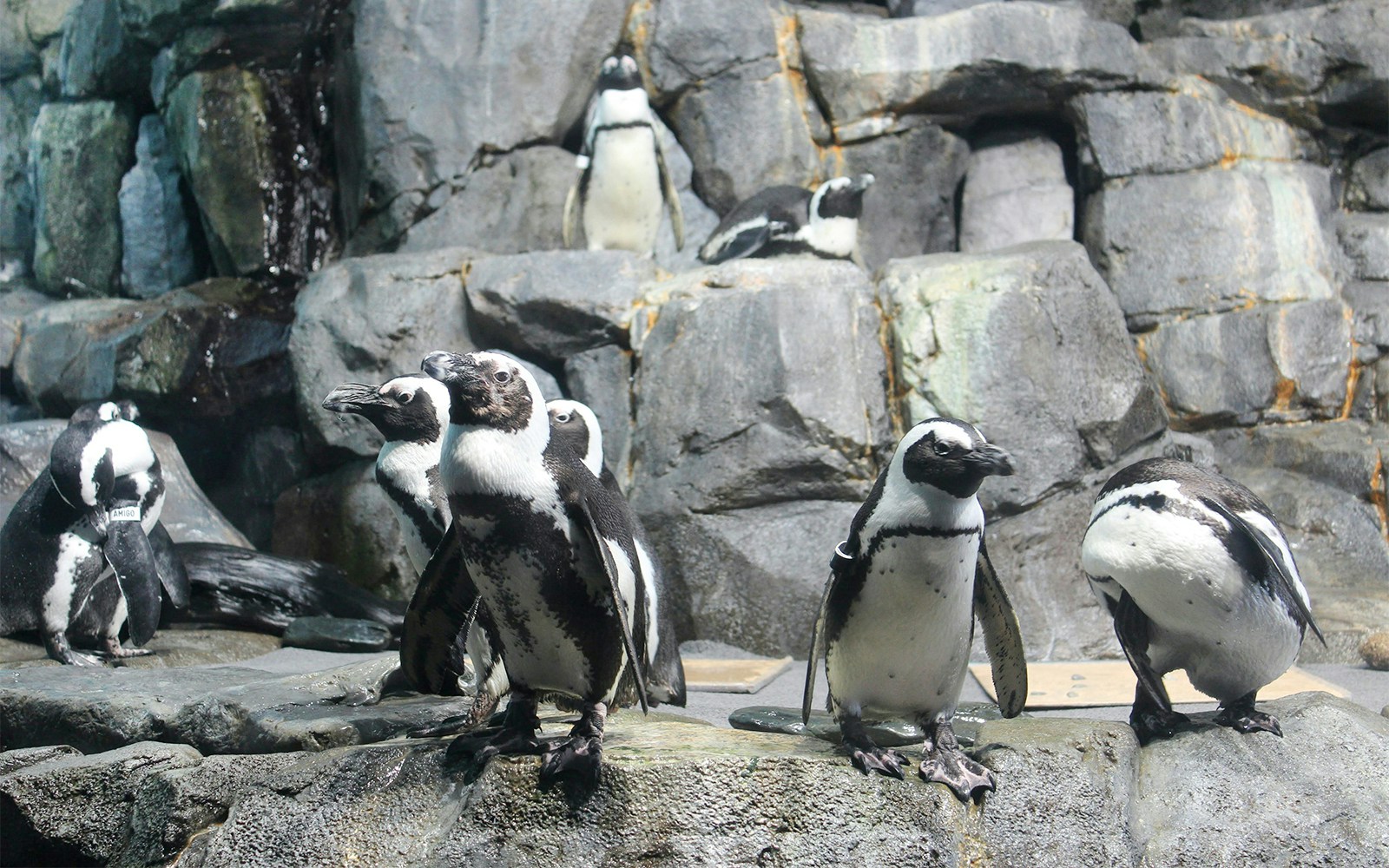
Penguins Rock
Europe's largest outdoor penguin pool

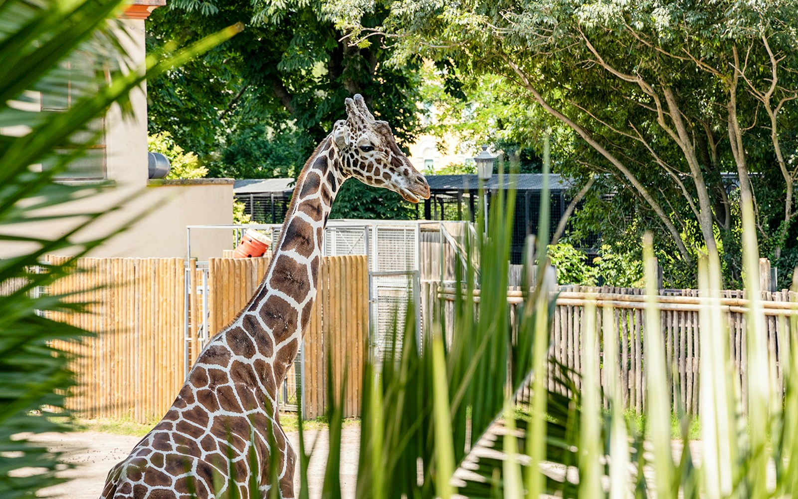

Tips for your visit
- Start at the top: If you are visiting with small children or elders, consider taking the internal mobility transport straight to the top of the hill right away, then enjoy an easy, leisurely downhill walk back to the entrance.
- Time the Penguin Parade: Check the daily schedule on your Edinburgh Zoo map upon arrival so you can position yourself along the pathway early for the iconic penguin walk.
- Stroller strategy: Due to the steep inclines, heavy or wide double strollers can be physically demanding to push. Bring a lightweight, easily manoeuvrable stroller if possible.
Frequently asked questions about the Edinburgh Zoo map
To help support global conservation and environmental sustainability, Edinburgh Zoo actively encourages visitors to utilise digital maps. You can download and save the map PDF directly to your phone before arriving or scan QR codes located at the park entrance.
The zoo is built on Corstorphine Hill, featuring an elevation gain of roughly 130 meters from the bottom gates to the topmost exhibits. The map highlights the steepest pathways in order to help visitors with strollers or mobility restrictions plan alternative routes. Plan your visit.
Yes, the designated pickup locations for the complimentary mobility trailer are clearly marked on the park map. The service primarily operates to transport visitors from the lower-level habitats to the steeper, high-altitude enclosures.
While the permanent habitats for the animals are clearly illustrated on the Edinburgh Zoo maps, specific feeding times and keeper talk schedules change seasonally. It is best to cross-reference your map locations with the daily schedule board at the main entrance hub upon arrival.

